Six public datasets. One file. Every conflict zone, MPA gap, and ecosystem risk for an entire EEZ — visible in a browser tab. No server. No licence. No installation.
High-resolution 5×5 km grid covering the full Finnish Exclusive Economic Zone. Built from six HELCOM HOLAS 3 layers. The most detailed single-country analysis available.
Baltic-wide 10×10 km analysis using the official HELCOM grid. Compare conflict zones, MPA effectiveness, and protection gaps across all Baltic nations simultaneously.
Where does bottom trawling destroy carbon sequestration value? The south Baltic soft-sediment analysis overlays HELCOM carbon data with fishing effort to show what €32M/yr of trawling revenue is costing in ecosystem services.
HELCOM publishes cumulative impact scores, ecosystem service maps, carbon sequestration layers, MPA boundaries, fishing effort, and shipping density — all open access, all Baltic-wide. The missing piece is making them talk to each other.
| Dimension | Traditional GIS | GRIDEY |
|---|---|---|
| Setup time | Days to weeks | 0 seconds |
| File size | 8–15 GB | 228 KB |
| Software | ArcGIS / QGIS | Any browser |
| Sharing | Repository / login | Email attachment |
| Cost | Licence + infra | Open access |
How 118MB becomes 228KB
Over 200 tools, reports and datasets from 31 EU MSP projects — indexed and searchable by topic. Not the official directory. Just a useful one.
Browse outcomes →Every dataset used in GRIDEY is publicly available from HELCOM at no cost. The methodology is fully documented and reproducible. Any country, institution, or researcher can replicate the analysis independently.
For non-Baltic applications, equivalent datasets exist through EMODnet, national hydrographic services, and regional sea conventions.
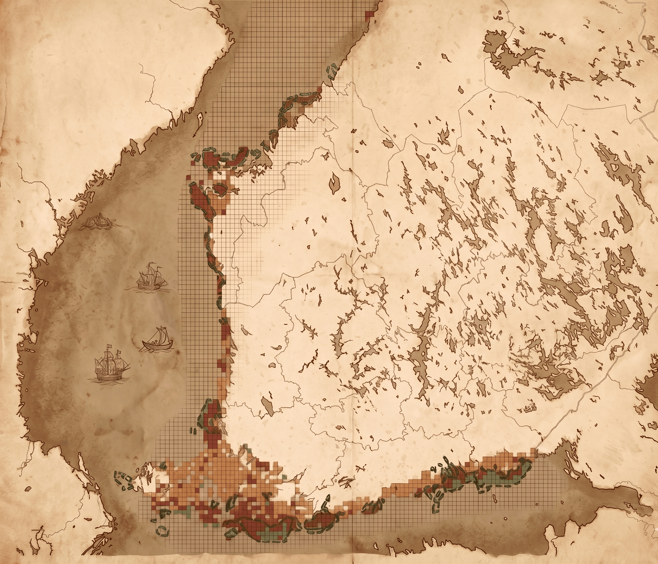
Marine spatial planning researcher and practitioner with over a decade of experience across Spain, Finland, and the Baltic region. Former Project Coordinator at the HELCOM Secretariat, where he led the MSP4BIO Baltic Sea test site and contributed to the Third Holistic Assessment of the Baltic Sea — the same datasets that power GRIDEY.
Previously a researcher at AZTI in Spain, specialising in decision support tools, spatial analysis, and offshore renewable energy planning. PhD in marine spatial planning from the University of the Basque Country; Erasmus Mundus MSc from the Universities of Venice, Seville, and Azores.